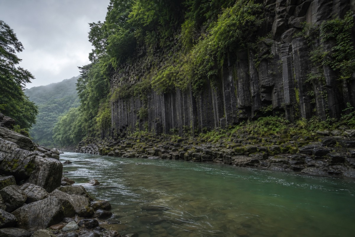
First the lava, then the river
UNESCO’s official materials identify the late Quaternary basaltic lava plateau, deep gorges formed by subsequent river erosion, basalt cliffs, and columnar joints as representative features of the Hantangang area.
Lava flowed along old waterways and low-lying terrain before solidifying over a wide area. The present landforms were later revealed as the Hantangang River cut back through the hardened basalt layers.
Why do columnar joints look like pillars?
As hot lava cools and contracts, fractures can split the rock into polygonal columns. Their forms differ from place to place according to lava thickness, cooling rate, and the subsequent process of erosion.
It is not a system for preserving rocks alone
A global geopark places importance on linking geological heritage with education, geotourism, and sustainable regional development. Traces of long human history, such as the Jeongok-ri archaeological site, and everyday life along the river must also be understood together.
Principles for geological content
- Check official geological terminology and the interpretation provided for each geosite.
- Do not collect rocks, and follow safety guidance on visitor trails.
- Distinguish symbolic images from actual field photographs.
- Record the location and date of field photographs.